Canada Topographic Maps

Green Bay Topo Maps

Topography maps and Latitude/Longitude Location

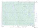
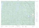
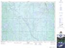
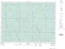
Maps showing Green Bay, Sudbury, Ontario

Green Bay is a Bay located in Sudbury, Ontario and has an elevation of 424 meters.

  • Latitude: 47° 1' 48'' North   (decimal: 47.0299999)
  • Longitude: 81° 31' 4'' West   (decimal: -81.5177777)
  • Topography Feature Category: Bay
  • Geographical Feature: Bay
  • Canadian Province/Territory: Ontario
  • Elevation: 424 meters
  • Location: Sudbury
  • Atlas of Canada Locator Map: Green Bay
  • GPS Coordinate Locator Map: Green Bay Lat/Long

Green Bay NTS Map Sheets

041I13 Pogamasing Topographic Map at 1:50,000 scale

041I14 Venetian Lake Topographic Map at 1:50,000 scale

041P03 Thor Lake Topographic Map at 1:50,000 scale

041P04 Low Water Lake Topographic Map at 1:50,000 scale

041I Sudbury Topographic Map at 1:250,000 scale

041P Gogama Topographic Map at 1:250,000 scale

 
Buy Topographic Maps DVD
Newsletter Sign-up

Yes, I want to receive map store discounts.


Bookmark and Share