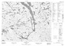
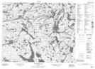
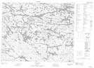
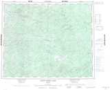
Maps showing Grist Lake, Kenora, Ontario
Grist Lake is a Lake located in Kenora, Ontario and has an elevation of 360 meters.
- Latitude: 52° 14' 30'' North (decimal: 52.2416666)
- Longitude: 93° 56' 47'' West (decimal: -93.9463888)
- Topography Feature Category: Lake
- Geographical Feature: Lake
- Canadian Province/Territory: Ontario
- Elevation: 360 meters
- Location: Kenora
- Atlas of Canada Locator Map: Grist Lake
- GPS Coordinate Locator Map: Grist Lake Lat/Long
Grist Lake NTS Map Sheets