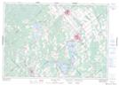
Maps showing Hall Mills, Ontario
Hall Mills is a Unincorporated area located in Ontario.
- Latitude: 45° 11' North (decimal: 45.1832999)
- Longitude: 76° 24' West (decimal: -76.3999999)
- Topography Feature Category: Unincorporated area
- Geographical Feature: Dispersed Rural Community
- Canadian Province/Territory: Ontario
- GPS Coordinate Locator Map: Hall Mills Lat/Long
Hall Mills NTS Map Sheets