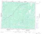
Maps showing Hat Island, Cochrane, Ontario
Hat Island is a Island located in Cochrane, Ontario.
- Latitude: 51° 20' 36'' North (decimal: 51.3433333)
- Longitude: 83° 48' 18'' West (decimal: -83.8049999)
- Topography Feature Category: Island
- Geographical Feature: Island
- Canadian Province/Territory: Ontario
- Location: Cochrane
- Atlas of Canada Locator Map: Hat Island
- GPS Coordinate Locator Map: Hat Island Lat/Long
Hat Island NTS Map Sheets