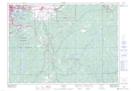
Maps showing Hawley, Sudbury, Ontario
Hawley is a Geographical area located in Sudbury, Ontario.
- Latitude: 46° 24' 30'' North (decimal: 46.4083333)
- Longitude: 80° 37' 51'' West (decimal: -80.6308333)
- Topography Feature Category: Geographical area
- Geographical Feature: Geographic Township
- Canadian Province/Territory: Ontario
- Location: Sudbury
- Atlas of Canada Locator Map: Hawley
- GPS Coordinate Locator Map: Hawley Lat/Long