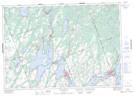
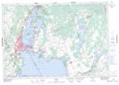
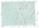
Maps showing Head River, Ontario, Ontario
Head River is a River located in Ontario, Ontario and has an elevation of 255 meters.
- Latitude: 44° 43' 46'' North (decimal: 44.7294444)
- Longitude: 79° 14' 51'' West (decimal: -79.2475000)
- Topography Feature Category: River
- Geographical Feature: River
- Canadian Province/Territory: Ontario
- Elevation: 255 meters
- Location: Ontario
- Atlas of Canada Locator Map: Head River
- GPS Coordinate Locator Map: Head River Lat/Long
Head River NTS Map Sheets