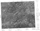
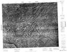
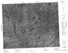
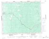
Maps showing Henley River, Kenora, Ontario
Henley River is a River located in Kenora, Ontario.
- Latitude: 51° 14' 17'' North (decimal: 51.2380555)
- Longitude: 84° 19' 34'' West (decimal: -84.3261111)
- Topography Feature Category: River
- Geographical Feature: River
- Canadian Province/Territory: Ontario
- Location: Kenora
- Atlas of Canada Locator Map: Henley River
- GPS Coordinate Locator Map: Henley River Lat/Long
Henley River NTS Map Sheets