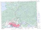
Maps showing The High Dump, Ontario
The High Dump is a Plain located in Ontario.
- Latitude: 46° 34' 51'' North (decimal: 46.5807999)
- Longitude: 84° 4' 50'' West (decimal: -84.0806000)
- Topography Feature Category: Plain
- Geographical Feature: Flats
- Canadian Province/Territory: Ontario
- GPS Coordinate Locator Map: The High Dump Lat/Long
The High Dump NTS Map Sheets