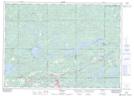
Maps showing High Falls Island, Sudbury, Ontario
High Falls Island is a Island located in Sudbury, Ontario.
- Latitude: 46° 22' 43'' North (decimal: 46.3786111)
- Longitude: 81° 34' 19'' West (decimal: -81.5719444)
- Topography Feature Category: Island
- Geographical Feature: Island
- Canadian Province/Territory: Ontario
- Location: Sudbury
- Atlas of Canada Locator Map: High Falls Island
- GPS Coordinate Locator Map: High Falls Island Lat/Long