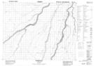
Maps showing Hobson Creek, Ontario
Hobson Creek is a River located in Ontario and has an elevation of 95 meters.
- Latitude: 50° 24' North (decimal: 50.4000000)
- Longitude: 81° 34' West (decimal: -81.5667000)
- Topography Feature Category: River
- Geographical Feature: Creek
- Canadian Province/Territory: Ontario
- Elevation: 95 meters
- GPS Coordinate Locator Map: Hobson Creek Lat/Long