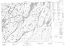
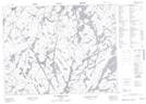
Maps showing Hooker Lake, Kenora; Thunder Bay, Ontario
Hooker Lake is a Lake located in Kenora; Thunder Bay, Ontario and has an elevation of 398 meters.
- Latitude: 50° 34' 55'' North (decimal: 50.5819444)
- Longitude: 91° 0' 30'' West (decimal: -91.0083333)
- Topography Feature Category: Lake
- Geographical Feature: Lake
- Canadian Province/Territory: Ontario
- Elevation: 398 meters
- Location: Kenora; Thunder Bay
- Atlas of Canada Locator Map: Hooker Lake
- GPS Coordinate Locator Map: Hooker Lake Lat/Long
Hooker Lake NTS Map Sheets