Canada Topographic Maps

Hunter Island Topo Maps

Topography maps and Latitude/Longitude Location

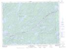
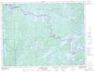
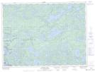
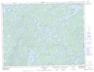
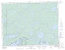
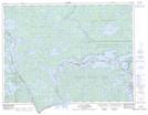
Maps showing Hunter Island, Rainy River, Ontario

Hunter Island is a Island located in Rainy River, Ontario and has an elevation of 393 meters.

  • Latitude: 48° 16' 56'' North   (decimal: 48.2822222)
  • Longitude: 91° 29' 32'' West   (decimal: -91.4922222)
  • Topography Feature Category: Island
  • Geographical Feature: Island
  • Canadian Province/Territory: Ontario
  • Elevation: 393 meters
  • Location: Rainy River
  • Atlas of Canada Locator Map: Hunter Island
  • GPS Coordinate Locator Map: Hunter Island Lat/Long

Hunter Island NTS Map Sheets

052B03 Knife Lake Topographic Map at 1:50,000 scale

052B04 Basswood Lake Topographic Map at 1:50,000 scale

052B05 Poohbah Lake Topographic Map at 1:50,000 scale

052B06 Kawnipi Lake Topographic Map at 1:50,000 scale

052B07 Mowe Lake Topographic Map at 1:50,000 scale

052C08 Lac La Croix Topographic Map at 1:50,000 scale

052B Quetico Topographic Map at 1:250,000 scale

052C International Falls Topographic Map at 1:250,000 scale

 
Buy Topographic Maps DVD
Newsletter Sign-up

Yes, I want to receive map store discounts.


Bookmark and Share