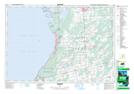
Maps showing Jack Island, Ontario
Jack Island is a Island located in Ontario.
- Latitude: 44° 44' 22'' North (decimal: 44.7394000)
- Longitude: 81° 19' 20'' West (decimal: -81.3222000)
- Topography Feature Category: Island
- Geographical Feature: Island
- Canadian Province/Territory: Ontario
- GPS Coordinate Locator Map: Jack Island Lat/Long