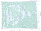
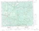
Maps showing Jac Saga Lake, Kenora, Ontario
Jac Saga Lake is a Lake located in Kenora, Ontario and has an elevation of 418 meters.
- Latitude: 49° 13' 14'' North (decimal: 49.2205555)
- Longitude: 91° 57' 16'' West (decimal: -91.9544444)
- Topography Feature Category: Lake
- Geographical Feature: Lake
- Canadian Province/Territory: Ontario
- Elevation: 418 meters
- Location: Kenora
- Atlas of Canada Locator Map: Jac Saga Lake
- GPS Coordinate Locator Map: Jac Saga Lake Lat/Long
Jac Saga Lake NTS Map Sheets