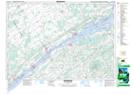
Maps showing Joe Channette Drain, Ontario
Joe Channette Drain is a Hydraulic construction located in Ontario.
- Latitude: 44° 58' North (decimal: 44.9667000)
- Longitude: 75° 15' West (decimal: -75.2500000)
- Topography Feature Category: Hydraulic construction
- Geographical Feature: Drain
- Canadian Province/Territory: Ontario
- GPS Coordinate Locator Map: Joe Channette Drain Lat/Long
Joe Channette Drain NTS Map Sheets