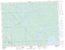
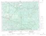
Maps showing Kelly, Thunder Bay, Ontario
Kelly is a Unincorporated area located in Thunder Bay, Ontario.
- Latitude: 49° 1' 9'' North (decimal: 49.0191666)
- Longitude: 90° 11' 55'' West (decimal: -90.1986111)
- Topography Feature Category: Unincorporated area
- Geographical Feature: Railway Point
- Canadian Province/Territory: Ontario
- Location: Thunder Bay
- Atlas of Canada Locator Map: Kelly
- GPS Coordinate Locator Map: Kelly Lat/Long