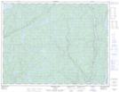
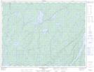
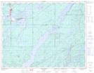
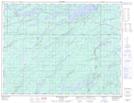
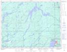
Maps showing Kenogamisis River, Thunder Bay, Ontario
Kenogamisis River is a River located in Thunder Bay, Ontario and has an elevation of 315 meters.
- Latitude: 49° 52' 22'' North (decimal: 49.8727777)
- Longitude: 86° 30' 14'' West (decimal: -86.5038888)
- Topography Feature Category: River
- Geographical Feature: River
- Canadian Province/Territory: Ontario
- Elevation: 315 meters
- Location: Thunder Bay
- Atlas of Canada Locator Map: Kenogamisis River
- GPS Coordinate Locator Map: Kenogamisis River Lat/Long
Kenogamisis River NTS Map Sheets