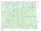
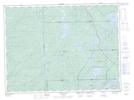
Maps showing Killins, Algoma, Ontario
Killins is a Geographical area located in Algoma, Ontario.
- Latitude: 48° 14' 7'' North (decimal: 48.2352777)
- Longitude: 85° 7' 4'' West (decimal: -85.1177777)
- Topography Feature Category: Geographical area
- Geographical Feature: Geographic Township
- Canadian Province/Territory: Ontario
- Location: Algoma
- Atlas of Canada Locator Map: Killins
- GPS Coordinate Locator Map: Killins Lat/Long
Killins NTS Map Sheets