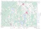
Maps showing King Island, Ontario
King Island is a Island located in Ontario.
- Latitude: 45° 5' 12'' North (decimal: 45.0866999)
- Longitude: 76° 10' 20'' West (decimal: -76.1722000)
- Topography Feature Category: Island
- Geographical Feature: Island
- Canadian Province/Territory: Ontario
- GPS Coordinate Locator Map: King Island Lat/Long
King Island NTS Map Sheets