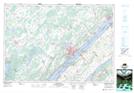
Maps showing Lemon Point, Ontario
Lemon Point is a Cape located in Ontario.
- Latitude: 44° 38' North (decimal: 44.6333000)
- Longitude: 75° 36' West (decimal: -75.5999999)
- Topography Feature Category: Cape
- Geographical Feature: Point
- Canadian Province/Territory: Ontario
- GPS Coordinate Locator Map: Lemon Point Lat/Long
Lemon Point NTS Map Sheets