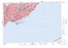
Maps showing Lighthouse Pond, York, Ontario
Lighthouse Pond is a Lake located in York, Ontario.
- Latitude: 43° 36' 53'' North (decimal: 43.6147222)
- Longitude: 79° 23' 11'' West (decimal: -79.3863888)
- Topography Feature Category: Lake
- Geographical Feature: Pond
- Canadian Province/Territory: Ontario
- Location: York
- Atlas of Canada Locator Map: Lighthouse Pond
- GPS Coordinate Locator Map: Lighthouse Pond Lat/Long