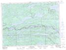
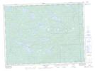
Maps showing Little Gull Creek, Thunder Bay, Ontario
Little Gull Creek is a River located in Thunder Bay, Ontario and has an elevation of 495 meters.
- Latitude: 48° 14' 9'' North (decimal: 48.2358333)
- Longitude: 90° 10' 34'' West (decimal: -90.1761111)
- Topography Feature Category: River
- Geographical Feature: Creek
- Canadian Province/Territory: Ontario
- Elevation: 495 meters
- Location: Thunder Bay
- Atlas of Canada Locator Map: Little Gull Creek
- GPS Coordinate Locator Map: Little Gull Creek Lat/Long
Little Gull Creek NTS Map Sheets