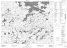
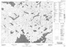
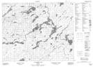
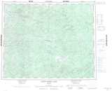
Maps showing MacDowell Lake, Kenora, Ontario
MacDowell Lake is a Lake located in Kenora, Ontario and has an elevation of 369 meters.
- Latitude: 52° 14' 25'' North (decimal: 52.2402777)
- Longitude: 92° 41' 00'' West (decimal: -92.6833333)
- Topography Feature Category: Lake
- Geographical Feature: Lake
- Canadian Province/Territory: Ontario
- Elevation: 369 meters
- Location: Kenora
- Atlas of Canada Locator Map: MacDowell Lake
- GPS Coordinate Locator Map: MacDowell Lake Lat/Long
MacDowell Lake NTS Map Sheets