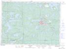
Maps showing Magog Creek, Ontario
Magog Creek is a River located in Ontario.
- Latitude: 46° 16' 15'' North (decimal: 46.2707999)
- Longitude: 82° 52' 27'' West (decimal: -82.8741999)
- Topography Feature Category: River
- Geographical Feature: Creek
- Canadian Province/Territory: Ontario
- GPS Coordinate Locator Map: Magog Creek Lat/Long
Magog Creek NTS Map Sheets