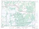
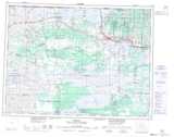
Maps showing Manders, Rainy River, Ontario
Manders is a Unincorporated area located in Rainy River, Ontario and has an elevation of 346 meters.
- Latitude: 48° 39' 50'' North (decimal: 48.6638888)
- Longitude: 94° 4' 9'' West (decimal: -94.0691666)
- Topography Feature Category: Unincorporated area
- Geographical Feature: Locality
- Canadian Province/Territory: Ontario
- Elevation: 346 meters
- Location: Rainy River
- Atlas of Canada Locator Map: Manders
- GPS Coordinate Locator Map: Manders Lat/Long