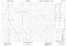
Maps showing Matitot Creek, Cochrane, Ontario
Matitot Creek is a River located in Cochrane, Ontario.
- Latitude: 50° 40' 4'' North (decimal: 50.6677777)
- Longitude: 80° 49' 19'' West (decimal: -80.8219444)
- Topography Feature Category: River
- Geographical Feature: Creek
- Canadian Province/Territory: Ontario
- Location: Cochrane
- Atlas of Canada Locator Map: Matitot Creek
- GPS Coordinate Locator Map: Matitot Creek Lat/Long
Matitot Creek NTS Map Sheets