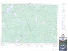
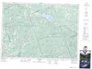
Maps showing Mount St. Patrick Mountains, Renfrew, Ontario
Mount St. Patrick Mountains is a Mountain located in Renfrew, Ontario and has an elevation of 408 meters.
- Latitude: 45° 17' 29'' North (decimal: 45.2913888)
- Longitude: 76° 54' 49'' West (decimal: -76.9136111)
- Topography Feature Category: Mountain
- Geographical Feature: Mountains
- Canadian Province/Territory: Ontario
- Elevation: 408 meters
- Location: Renfrew
- Atlas of Canada Locator Map: Mount St. Patrick Mountains
- GPS Coordinate Locator Map: Mount St. Patrick Mountains Lat/Long
Mount St. Patrick Mountains NTS Map Sheets