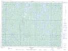
Maps showing Mozhabong River, Sudbury, Ontario
Mozhabong River is a River located in Sudbury, Ontario.
- Latitude: 47° 2' 13'' North (decimal: 47.0369444)
- Longitude: 82° 8' 21'' West (decimal: -82.1391666)
- Topography Feature Category: River
- Geographical Feature: River
- Canadian Province/Territory: Ontario
- Location: Sudbury
- Atlas of Canada Locator Map: Mozhabong River
- GPS Coordinate Locator Map: Mozhabong River Lat/Long
Mozhabong River NTS Map Sheets