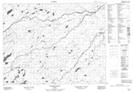
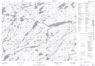
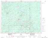
Maps showing Muriel River, Cochrane, Ontario
Muriel River is a River located in Cochrane, Ontario and has an elevation of 296 meters.
- Latitude: 50° 40' 5'' North (decimal: 50.6680555)
- Longitude: 86° 29' 11'' West (decimal: -86.4863888)
- Topography Feature Category: River
- Geographical Feature: River
- Canadian Province/Territory: Ontario
- Elevation: 296 meters
- Location: Cochrane
- Atlas of Canada Locator Map: Muriel River
- GPS Coordinate Locator Map: Muriel River Lat/Long
Muriel River NTS Map Sheets