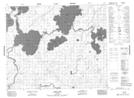
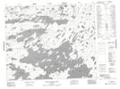
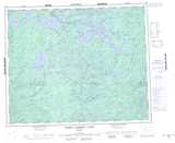
Maps showing North Caribou River, Kenora, Ontario
North Caribou River is a River located in Kenora, Ontario and has an elevation of 295 meters.
- Latitude: 52° 54' 46'' North (decimal: 52.9127777)
- Longitude: 91° 49' 15'' West (decimal: -91.8208333)
- Topography Feature Category: River
- Geographical Feature: River
- Canadian Province/Territory: Ontario
- Elevation: 295 meters
- Location: Kenora
- Atlas of Canada Locator Map: North Caribou River
- GPS Coordinate Locator Map: North Caribou River Lat/Long
North Caribou River NTS Map Sheets