Canada Topographic Maps

Nottawasaga River Topo Maps

Topography maps and Latitude/Longitude Location

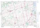
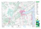
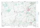
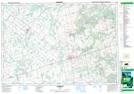
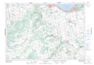
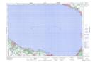
Maps showing Nottawasaga River, Simcoe, Ontario

Nottawasaga River is a River located in Simcoe, Ontario and has an elevation of 179 meters.

  • Latitude: 44° 32' 12'' North   (decimal: 44.5366666)
  • Longitude: 80° 0' 29'' West   (decimal: -80.0080555)
  • Topography Feature Category: River
  • Geographical Feature: River
  • Canadian Province/Territory: Ontario
  • Elevation: 179 meters
  • Location: Simcoe
  • Atlas of Canada Locator Map: Nottawasaga River
  • GPS Coordinate Locator Map: Nottawasaga River Lat/Long

Nottawasaga River NTS Map Sheets

031D04 Alliston Topographic Map at 1:50,000 scale

031D05 Barrie Topographic Map at 1:50,000 scale

040P16 Orangeville Topographic Map at 1:50,000 scale

041A01 Dundalk Topographic Map at 1:50,000 scale

041A08 Collingwood Topographic Map at 1:50,000 scale

041A09 Nottawasaga Bay Topographic Map at 1:50,000 scale

031D Lake Simcoe Topographic Map at 1:250,000 scale

040P Kitchener Topographic Map at 1:250,000 scale

041A Owen Sound Topographic Map at 1:250,000 scale

 
Buy Topographic Maps DVD
Newsletter Sign-up

Yes, I want to receive map store discounts.


Bookmark and Share