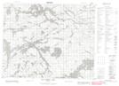
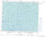
Maps showing Poplar Hill, Kenora, Ontario
Poplar Hill is a Unincorporated area located in Kenora, Ontario.
- Latitude: 52° 5' 49'' North (decimal: 52.0969444)
- Longitude: 94° 18' 15'' West (decimal: -94.3041666)
- Topography Feature Category: Unincorporated area
- Geographical Feature: Dispersed Rural Community
- Canadian Province/Territory: Ontario
- Location: Kenora
- Atlas of Canada Locator Map: Poplar Hill
- GPS Coordinate Locator Map: Poplar Hill Lat/Long
Poplar Hill NTS Map Sheets