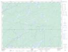
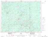
Maps showing Prairie Lake, Cochrane, Ontario
Prairie Lake is a Lake located in Cochrane, Ontario and has an elevation of 300 meters.
- Latitude: 50° 9' 16'' North (decimal: 50.1544444)
- Longitude: 86° 16' 47'' West (decimal: -86.2797222)
- Topography Feature Category: Lake
- Geographical Feature: Lake
- Canadian Province/Territory: Ontario
- Elevation: 300 meters
- Location: Cochrane
- Atlas of Canada Locator Map: Prairie Lake
- GPS Coordinate Locator Map: Prairie Lake Lat/Long