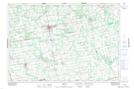
Maps showing Priceville, Grey, Ontario
Priceville is a Unincorporated area located in Grey, Ontario and has an elevation of 459 meters.
- Latitude: 44° 12' 15'' North (decimal: 44.2041666)
- Longitude: 80° 37' 34'' West (decimal: -80.6261111)
- Topography Feature Category: Unincorporated area
- Geographical Feature: Locality
- Canadian Province/Territory: Ontario
- Elevation: 459 meters
- Location: Grey
- Atlas of Canada Locator Map: Priceville
- GPS Coordinate Locator Map: Priceville Lat/Long