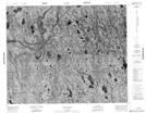
Maps showing Pym Island, Kenora, Ontario
Pym Island is a Island located in Kenora, Ontario.
- Latitude: 52° 12' 21'' North (decimal: 52.2058333)
- Longitude: 86° 19' 28'' West (decimal: -86.3244444)
- Topography Feature Category: Island
- Geographical Feature: Island
- Canadian Province/Territory: Ontario
- Location: Kenora
- Atlas of Canada Locator Map: Pym Island
- GPS Coordinate Locator Map: Pym Island Lat/Long
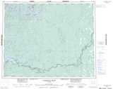
Pym Island NTS Map Sheets