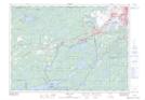
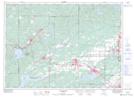
Maps showing Rayside-Balfour, Sudbury, Ontario
Rayside-Balfour is a Unincorporated area located in Sudbury, Ontario and has an elevation of 264 meters.
- Latitude: 46° 36' 31'' North (decimal: 46.6086111)
- Longitude: 81° 12' 27'' West (decimal: -81.2075000)
- Topography Feature Category: Unincorporated area
- Geographical Feature: Community
- Canadian Province/Territory: Ontario
- Elevation: 264 meters
- Location: Sudbury
- Atlas of Canada Locator Map: Rayside-Balfour
- GPS Coordinate Locator Map: Rayside-Balfour Lat/Long
Rayside-Balfour NTS Map Sheets