Canada Topographic Maps

Redsucker River Topo Maps

Topography maps and Latitude/Longitude Location

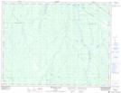
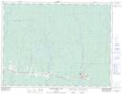
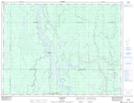
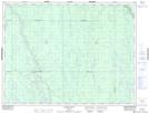
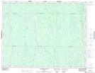
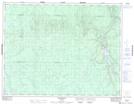
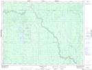
Maps showing Redsucker River, Cochrane, Ontario

Redsucker River is a River located in Cochrane, Ontario and has an elevation of 212 meters.

  • Latitude: 49° 45' 33'' North   (decimal: 49.7591666)
  • Longitude: 81° 29' 53'' West   (decimal: -81.4980555)
  • Topography Feature Category: River
  • Geographical Feature: River
  • Canadian Province/Territory: Ontario
  • Elevation: 212 meters
  • Location: Cochrane
  • Atlas of Canada Locator Map: Redsucker River
  • GPS Coordinate Locator Map: Redsucker River Lat/Long

Redsucker River NTS Map Sheets

042H04 Bradburn Lake Topographic Map at 1:50,000 scale

042H05 Smooth Rock Falls Topographic Map at 1:50,000 scale

042H06 Gardiner Topographic Map at 1:50,000 scale

042H11 Island Falls Topographic Map at 1:50,000 scale

042H12 Abimatinu River Topographic Map at 1:50,000 scale

042H13 Fraserdale Topographic Map at 1:50,000 scale

042H14 Takwata Lake Topographic Map at 1:50,000 scale

042H Cochrane Topographic Map at 1:250,000 scale

 
Buy Topographic Maps DVD
Newsletter Sign-up

Yes, I want to receive map store discounts.


Bookmark and Share