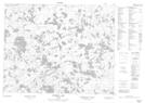
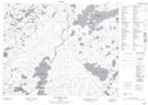
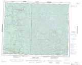
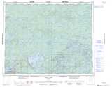
Maps showing Reigate Lake, Kenora, Ontario
Reigate Lake is a Lake located in Kenora, Ontario and has an elevation of 415 meters.
- Latitude: 51° 21' 35'' North (decimal: 51.3597222)
- Longitude: 93° 59' 30'' West (decimal: -93.9916666)
- Topography Feature Category: Lake
- Geographical Feature: Lake
- Canadian Province/Territory: Ontario
- Elevation: 415 meters
- Location: Kenora
- Atlas of Canada Locator Map: Reigate Lake
- GPS Coordinate Locator Map: Reigate Lake Lat/Long
Reigate Lake NTS Map Sheets