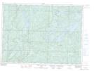
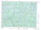
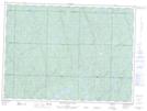
Maps showing Rocky Island Lake, Algoma, Ontario
Rocky Island Lake is a Lake located in Algoma, Ontario and has an elevation of 426 meters.
- Latitude: 46° 55' 6'' North (decimal: 46.9183333)
- Longitude: 83° 1' 22'' West (decimal: -83.0227777)
- Topography Feature Category: Lake
- Geographical Feature: Lake
- Canadian Province/Territory: Ontario
- Elevation: 426 meters
- Location: Algoma
- Atlas of Canada Locator Map: Rocky Island Lake
- GPS Coordinate Locator Map: Rocky Island Lake Lat/Long
Rocky Island Lake NTS Map Sheets