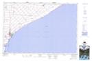
Maps showing Romney, Kent, Ontario
Romney is a Unincorporated area located in Kent, Ontario.
- Latitude: 42° 8' North (decimal: 42.1333000)
- Longitude: 82° 22' West (decimal: -82.3666999)
- Topography Feature Category: Unincorporated area
- Geographical Feature: Locality
- Canadian Province/Territory: Ontario
- Location: Kent
- GPS Coordinate Locator Map: Romney Lat/Long