Canada Topographic Maps

Ruby Creek Topo Maps

Topography maps and Latitude/Longitude Location

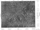
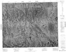
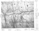
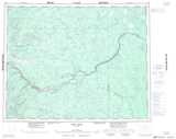
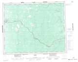
Maps showing Ruby Creek, Cochrane, Ontario

Ruby Creek is a River located in Cochrane, Ontario.

  • Latitude: 51° 38' 8'' North   (decimal: 51.6355555)
  • Longitude: 85° 48' 17'' West   (decimal: -85.8047222)
  • Topography Feature Category: River
  • Geographical Feature: Creek
  • Canadian Province/Territory: Ontario
  • Location: Cochrane
  • Atlas of Canada Locator Map: Ruby Creek
  • GPS Coordinate Locator Map: Ruby Creek Lat/Long

Ruby Creek NTS Map Sheets

042M01 Eby Falls Topographic Map at 1:50,000 scale

042N05 Wabimeig Lake Topographic Map at 1:50,000 scale

042N12 Stonebasket Island Topographic Map at 1:50,000 scale

042M Fort Hope Topographic Map at 1:250,000 scale

042N Ogoki Topographic Map at 1:250,000 scale

 
Buy Topographic Maps DVD
Newsletter Sign-up

Yes, I want to receive map store discounts.


Bookmark and Share