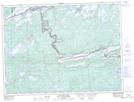
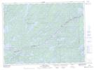
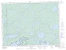
Maps showing Saganaga Lake, Thunder Bay; Rainy River, Ontario
Saganaga Lake is a Lake located in Thunder Bay; Rainy River, Ontario and has an elevation of 444 meters.
- Latitude: 48° 14' 40'' North (decimal: 48.2444444)
- Longitude: 90° 55' 36'' West (decimal: -90.9266666)
- Topography Feature Category: Lake
- Geographical Feature: Lake
- Canadian Province/Territory: Ontario
- Elevation: 444 meters
- Location: Thunder Bay; Rainy River
- Atlas of Canada Locator Map: Saganaga Lake
- GPS Coordinate Locator Map: Saganaga Lake Lat/Long
Saganaga Lake NTS Map Sheets