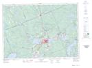
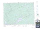
Maps showing Sixteen Mile Creek, Muskoka, Ontario
Sixteen Mile Creek is a River located in Muskoka, Ontario and has an elevation of 372 meters.
- Latitude: 45° 20' 11'' North (decimal: 45.3363888)
- Longitude: 79° 0' 57'' West (decimal: -79.0158333)
- Topography Feature Category: River
- Geographical Feature: Creek
- Canadian Province/Territory: Ontario
- Elevation: 372 meters
- Location: Muskoka
- Atlas of Canada Locator Map: Sixteen Mile Creek
- GPS Coordinate Locator Map: Sixteen Mile Creek Lat/Long
Sixteen Mile Creek NTS Map Sheets