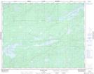
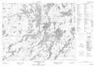
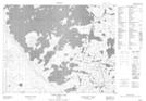
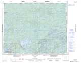
Maps showing Snakeweed Lake, Kenora, Ontario
Snakeweed Lake is a Lake located in Kenora, Ontario and has an elevation of 400 meters.
- Latitude: 50° 59' 56'' North (decimal: 50.9988888)
- Longitude: 92° 59' 49'' West (decimal: -92.9969444)
- Topography Feature Category: Lake
- Geographical Feature: Lake
- Canadian Province/Territory: Ontario
- Elevation: 400 meters
- Location: Kenora
- Atlas of Canada Locator Map: Snakeweed Lake
- GPS Coordinate Locator Map: Snakeweed Lake Lat/Long
Snakeweed Lake NTS Map Sheets
052K14 Pakwash Lake Topographic Map at 1:50,000 scale
052K15 Bluffy Lake Topographic Map at 1:50,000 scale
052N02 Confederation Lake Topographic Map at 1:50,000 scale
052N03 Little Trout Lake Topographic Map at 1:50,000 scale
052K Lac Seul Topographic Map at 1:250,000 scale
052N Trout Lake Topographic Map at 1:250,000 scale
052K15 Bluffy Lake Topographic Map at 1:50,000 scale
052N02 Confederation Lake Topographic Map at 1:50,000 scale
052N03 Little Trout Lake Topographic Map at 1:50,000 scale
052K Lac Seul Topographic Map at 1:250,000 scale
052N Trout Lake Topographic Map at 1:250,000 scale