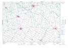
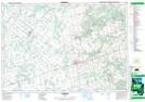
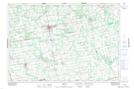
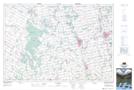
Maps showing South Saugeen River, Bruce, Ontario
South Saugeen River is a River located in Bruce, Ontario and has an elevation of 365 meters.
- Latitude: 44° 8' 50'' North (decimal: 44.1472222)
- Longitude: 81° 2' 31'' West (decimal: -81.0419444)
- Topography Feature Category: River
- Geographical Feature: River
- Canadian Province/Territory: Ontario
- Elevation: 365 meters
- Location: Bruce
- Atlas of Canada Locator Map: South Saugeen River
- GPS Coordinate Locator Map: South Saugeen River Lat/Long
South Saugeen River NTS Map Sheets