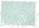
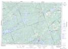
Maps showing South Sherbrooke, Lanark, Ontario
South Sherbrooke is a Geographical area located in Lanark, Ontario.
- Latitude: 44° 49' 4'' North (decimal: 44.8177777)
- Longitude: 76° 31' 2'' West (decimal: -76.5172222)
- Topography Feature Category: Geographical area
- Geographical Feature: Geographic Township
- Canadian Province/Territory: Ontario
- Location: Lanark
- Atlas of Canada Locator Map: South Sherbrooke
- GPS Coordinate Locator Map: South Sherbrooke Lat/Long
South Sherbrooke NTS Map Sheets