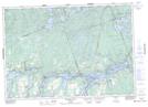
Maps showing Squaw River, Ontario
Squaw River is a River located in Ontario and has an elevation of 309 meters.
- Latitude: 44° 34' 41'' North (decimal: 44.5781000)
- Longitude: 78° 25' 32'' West (decimal: -78.4255999)
- Topography Feature Category: River
- Geographical Feature: River
- Canadian Province/Territory: Ontario
- Elevation: 309 meters
- GPS Coordinate Locator Map: Squaw River Lat/Long
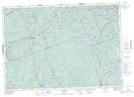
Squaw River NTS Map Sheets