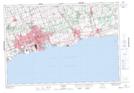
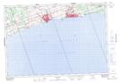
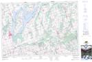
Maps showing Stalker Creek, Durham, Ontario
Stalker Creek is a River located in Durham, Ontario and has an elevation of 246 meters.
- Latitude: 43° 56' 32'' North (decimal: 43.9422222)
- Longitude: 78° 37' 3'' West (decimal: -78.6174999)
- Topography Feature Category: River
- Geographical Feature: Creek
- Canadian Province/Territory: Ontario
- Elevation: 246 meters
- Location: Durham
- Atlas of Canada Locator Map: Stalker Creek
- GPS Coordinate Locator Map: Stalker Creek Lat/Long
Stalker Creek NTS Map Sheets