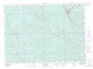
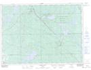
Maps showing Stewart, Nipissing, Ontario
Stewart is a Geographical area located in Nipissing, Ontario.
- Latitude: 46° 34' 44'' North (decimal: 46.5788888)
- Longitude: 79° 26' 49'' West (decimal: -79.4469444)
- Topography Feature Category: Geographical area
- Geographical Feature: Geographic Township
- Canadian Province/Territory: Ontario
- Location: Nipissing
- Atlas of Canada Locator Map: Stewart
- GPS Coordinate Locator Map: Stewart Lat/Long
Stewart NTS Map Sheets