Maps showing Strathtay, Renfrew, Ontario
Strathtay is a Unincorporated area located in Renfrew, Ontario.
- Latitude: 45° 16' North (decimal: 45.2667000)
- Longitude: 77° 14' West (decimal: -77.2332999)
- Topography Feature Category: Unincorporated area
- Geographical Feature: Locality
- Canadian Province/Territory: Ontario
- Location: Renfrew
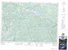
- GPS Coordinate Locator Map: Strathtay Lat/Long